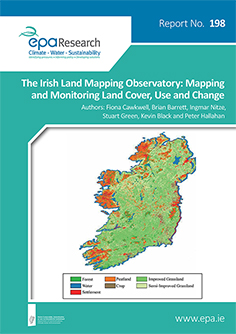
Authors: Fiona Cawkwell, Brian Barrett, Ingmar Nitze, Stuart Green, Kevin Black and Peter Hallahan
Summary: Research Report 198 on The Irish Land Mapping Observatory: Mapping and Monitoring Land Cover, Use and Change

Agriculture, particularly grassland based livestock farming, is the dominant land use in Ireland. There is the potential for removal of carbon dioxide from the atmosphere through good practice in the management of agricultural and other lands. Both the emissions and removal potential need to be quantified at a national level in order to better inform decision making on future land management. Wetlands and drained organic soils are recognised as a potential “hot spot” source of emissions. However, efficient data gathering and analysis tools are required to provide the additional spatial and temporal information required to establish the potential for mitigation of emissions through policies aimed at improved management of these lands.
Findings from this study indicate that high resolution monitoring of land management using satellite remote sensing is feasible. The study was also able to identify changes at seasonal and annual timescales, at a spatial resolution which would enable characterisation of regional patterns of grassland management practices. When combined with existing spatial mapping, it is possible to align vegetative and surface characteristics to field scale, however, this is limited by the highly fragmented nature of the Irish landscape. The study provides a illustrative example of how one might estimate carbon emissions and removals at a regional scale through the combination the activity data derived from the remote sensing analysis in pilot study areas with the IPCC methodologies.
The research investigates identifies the options for advanced analysis of land use and land use management and the impact on emissions and removals of greenhouse gases.
https://www.epa.ie/media/epa-2020/publications/research/Research-198-thumbnail.jpg