Bathing water quality in Ireland in 2021
This is a report about bathing water quality in Ireland during 2021., May 2022
Year: 2022
Hydrology Summary Bulletin - April 2022
Hydrology bulletin on rainfall, river flows, lake levels, groundwater levels and spring outflows for April 2022, May 2022
Year: 2022
Hydrology Summary Bulletin for April 2022 outlining the flows in rivers, rainfall, lake and turlough levels, groundwater levels and spring outflows of over 300 stations across Ireland.
2022 EPA Water Conference Agenda
2022 EPA Water Conference Agenda and speaker bios, April 2022
Year: 2022
2022 EPA Water Conference Agenda
Ireland's Air Pollutant Emissions 2020 (1990-2030)
Year: 2022
Latest report (2022) on Ireland's National Emission Reduction Commitment Directive (NECD) emissions. Five main air pollutants, NOx, SO2, NH3, NMVOC and PM2.5
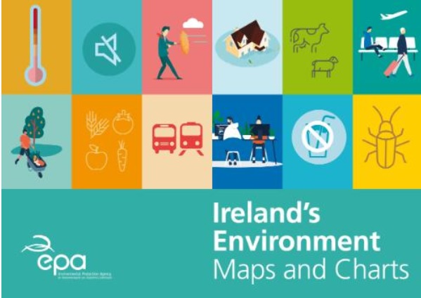
Ireland's Environment: Maps and Charts (Key Message 13 section)
Year: 2022
Ireland's Environment: Maps and Charts - Key Message 13: Land use

Ireland's Environment: Maps and Charts (Key Message 12 section)
Year: 2022
Ireland's Environment: Maps and Charts - Key Message 12: Circular economy

Ireland's Environment: Maps and Charts (Key Message 11 section)
Year: 2022
Ireland's Environment: Maps and Charts - Key Message 11: Water services

Ireland's Environment: Maps and Charts (Key Message 10 section)
Year: 2022
Ireland's Environment: Maps and Charts - Key Message 10: Environmentally sustainable agriculture

Ireland's Environment: Maps and Charts (Key Message 9 section)
Year: 2022
Ireland's Environment: Maps and Charts - Key Message 9: Clean energy

Ireland's Environment: Maps and Charts (Key Message 8 section)
Year: 2022
Ireland's Environment: Maps and Charts - Key Message 8: Marine

Ireland's Environment: Maps and Charts (Key Message 7 section)
Year: 2022
Ireland's Environment: Maps and Charts - Key Message 7: Water quality

Ireland's Environment: Maps and Charts (Key Message 6 section)
Year: 2022
Ireland's Environment: Maps and Charts: Key Message 6: Nature

Ireland's Environment: Maps and Charts (Key Message 5 section)
Year: 2022
Ireland's Environment: Maps and Charts - Key Message 5: Air quality

Ireland's Environment: Maps and Charts (Key Message 3 section)
Year: 2022
Ireland's Environment: Maps and Charts - Key message 3: Health and wellbeing

Ireland's Environment: Maps and Charts (Key Message 2 section)
Year: 2022
Ireland's Environment: Maps and Charts - Key Message 2: Full implementation

Ireland's Environment: Maps and Charts (Key Message 1 section)
Year: 2022
Ireland's Environment: Maps and Charts - Key Message 1: Environmental policy position
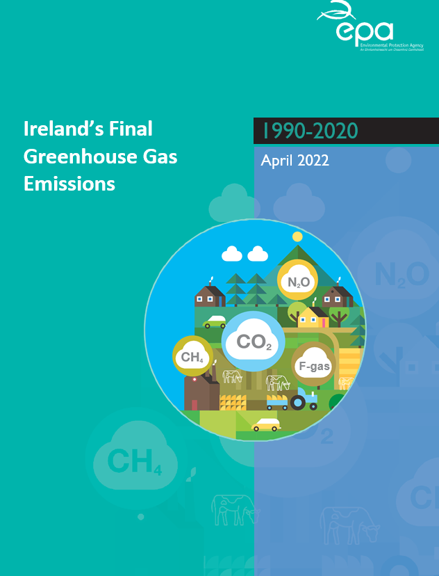
Greenhouse Gas emissions Final 2020
Year: 2022
This report outlines Ireland's final estimates of Greenhouse Gas emissions for the time period 1990-2020.

Ireland's Environment: Maps and Charts
Year: 2022
Ireland's Environment: Maps and Charts is a supplement to the EPA’s most recent State of the Environment report, Ireland's Environment: An Integrated Assessment 2020. It has been developed to visually present up-to-date data and assessment.

Ireland's Environment: Maps and Charts (Key Message 4 section)
Year: 2022
Ireland's Environment: Maps and Charts - Key message 4: Climate
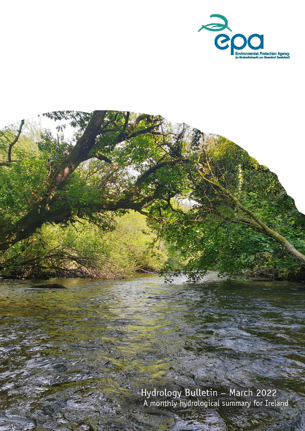
Hydrology Summary Bulletin - March 2022
Hydrology bulletin on rainfall, river flows, lake levels, groundwater levels and spring outflows for March 2022, April 2022
Year: 2022
Hydrology Summary Bulletin for March 2022 outlining the flows in rivers, rainfall, lake and turlough levels, groundwater levels and spring outflows of over 300 stations across Ireland.